
Tonga to Achieve 100 Percent National LiDAR Coverage of All Low-Lying Islands in 2026
Nuku‘alofa, Tonga – In a major step toward climate resilience and evidence-based national planning, the Kingdom of Tonga is set to become one of the very few Pacific Island Countries with comprehensive national LiDAR coverage in 2026.
This milestone will be delivered through the Tonga Coastal Resilience Project (TCRP), funded by the Green Climate Fund (GCF) and implemented by the United Nations Development Programme (UNDP) in partnership with the Government of Tonga.
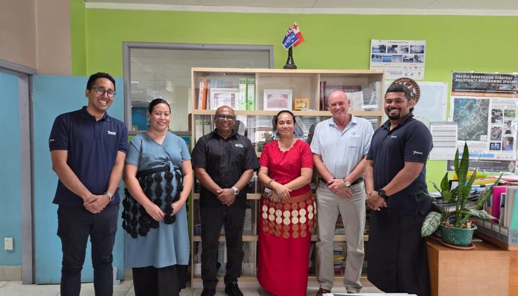
 Officials from UNDP, SPC, Fugro and the Ministry of Infrastructure during preparatory coordination meetings ahead of Tonga’s 2026 national LiDAR survey. (L–R) Mr Ashley Fua, Mr Hideharu Uno, Mr Michael Brown, Dr Vinolia Salesi, Mr Andrick Lal, Ms Sela Finefeuiaki and Mr James Panuve
With the completion of the 2026 survey, Tonga will establish its first complete national LiDAR baseline to support coastal risk modelling, sea-level rise projections, disaster preparedness, infrastructure planning and long-term climate adaptation.
As part of this effort, a coastal mapping survey will be conducted over Tongatapu and Ha’apai island group from 21 March to 18 April 2026 using a specialized survey aircraft. The survey will utilise LiDAR (Light Detection and Ranging) — an advanced remote sensing technology that produces highly accurate three-dimensional elevation data of land and nearshore environments.
The data collected will significantly enhance Tonga’s ability to assess climate risks, model future sea-level rise scenarios, strengthen disaster preparedness systems and inform long-term coastal infrastructure planning.
Strengthening National Capacity Under TCRP
Under Output 2 of the project, UNDP is working in partnership with the Pacific Community (SPC) to strengthen Tonga’s capacity to collect, manage, analyse, interpret, and apply coastal and climate risk data.
The LiDAR survey will support the development of scenario-based coastal risk maps and knowledge products that enable evidence-based adaptation planning. Beyond data acquisition, the initiative reinforces national ownership of climate information systems and builds long-term technical capacity within government institutions.
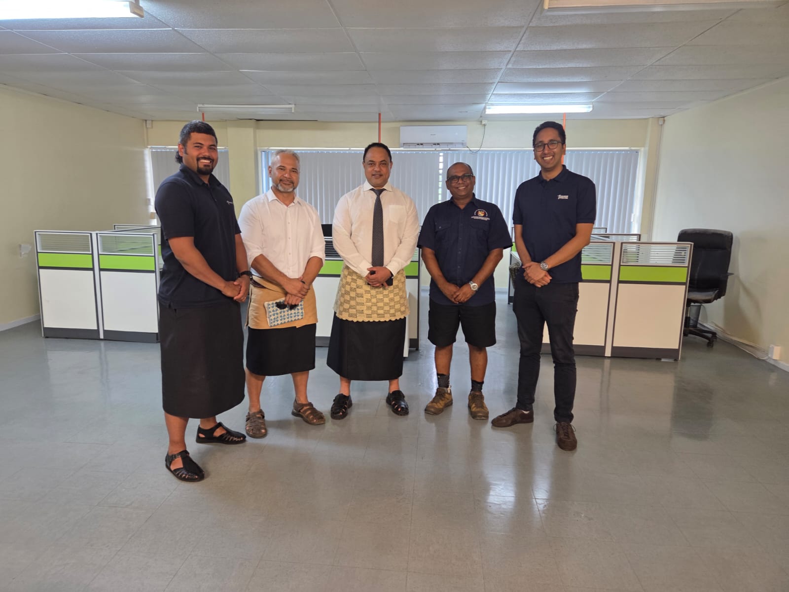
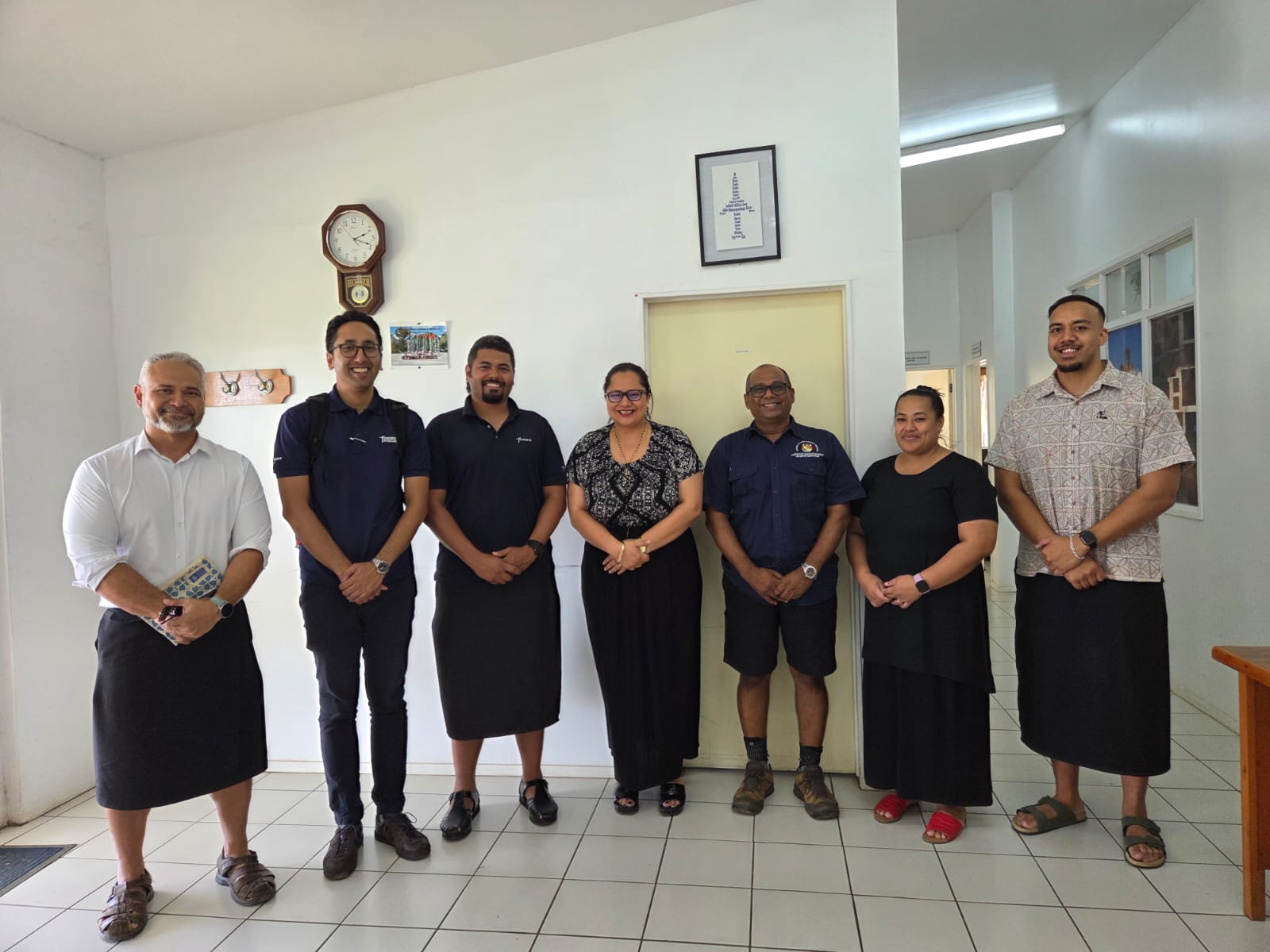
Preparatory coordination meetings were convened ahead of the survey. The meetings were led by SPC’s Pacific Geospatial & Surveying (PGS) Coordinator, Mr Andrick Lal and included technical specialists from Fugro, Mr Hideharu Uno, Project Manager and Mr Michael Brown, Hydrographic Surveyor and with support from the UNDP Tonga team – Ms Afuafu Kautoke, National Project Manager and Mr Ashley Fua, Area Manager.
Key implementing ministries participating in the coordination included:
- Ministry of Meteorology, Energy, Information, Disaster Management, Environment, Climate Change and Communications (MEIDECC)
- Ministry of Lands, Survey, Planning and Natural Resources (MLSPNR)
- Ministry of Infrastructure (MOI)
The 2026 LiDAR survey will be conducted by Fugro, an international geo-data specialist agency with extensive expertise in aerial and maritime mapping. During implementation, SPC and Fugro technical teams will work closely alongside the Mapping and Surveying Division within MLSNPR to ensure knowledge transfer and technical collaboration.
Building on Tonga’s LiDAR Legacy
Tonga has previously undertaken LiDAR surveys through various development initiatives. The 2026 survey will integrate existing datasets to establish Tonga’s first complete unified national LiDAR coverage:
- 2012 Survey: Funded by the Australian Government Department of Foreign Affairs and Trade (DFAT) under the Pacific-Australia Climate Change Science and Adaptation Program (PACCSAP), covering Tongatapu, Lifuka and Foa.
- 2021 Survey: Funded by the World Bank under the Pacific Resilience Program (PREP), covering ‘Eua, Vava‘u, Tafahi and Niuatoputapu.
- 2026 Survey: Funded by the Green Climate Fund through the Tonga Coastal Resilience Project, covering Tongatapu and the Ha‘apai Islands to complete national coverage.
The completion of national LiDAR coverage represents a significant advancement in strengthening Tonga’s climate resilience. High resolution evaluation data will enable more precise flood and coastal inundation modelling, safer infrastructure design, strengthened coastal zone management, and informed long-term adaptation to sea-level rise and extreme weather events.
By investing in robust geospatial data systems and national technical capacity, Tonga is strengthening the foundations for climate-informed decision-making that will protect communities, infrastructure and ecosystems for generations to come.
For more information please contact:
Afuafu Kautoke, TCRP National Project Manager, Project Management Unit – Department of Climate Change, MEIDECC, afuafu.kautoke@undp.org | Luseane Taufa, Project Communications Officer, luseane.apilahi.taufa@undp.org